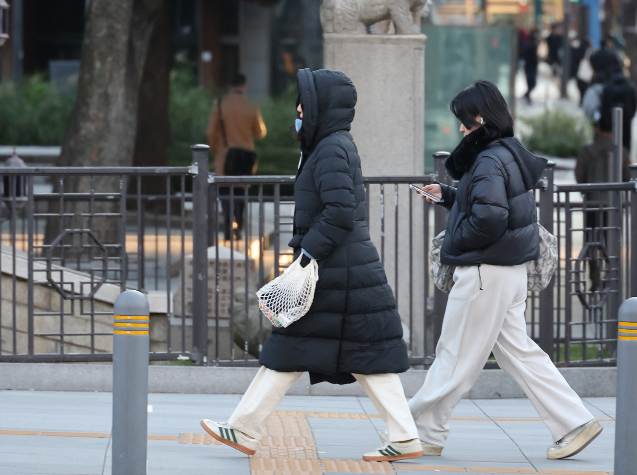
South Korea can expect a brief spell of cold weather starting Monday before temperatures return to levels similar to previous years, the Korea Meteorological Administration said Sunday.
The KMA attributed the drop in temperatures to a high-pressure system expanding toward the West Sea, bringing in cold, northerly winds into the Korean Peninsula.
Compared to morning temperatures from Sunday, Monday’s morning temperatures are projected to be 4-8 degrees Celsius lower, with average nationwide low temperatures expected to range from 0-6 C.
Monday’s cold conditions are expected to continue through Tuesday, with average nationwide lows forecast to reach below zero at minus 2 C. Nationwide highs are expected to sit between 13 C and 18 C.
In Seoul, morning lows on Monday could reach as low as 2 C and as low as 3 C on Tuesday.
Strong winds are forecast for Monday and Tuesday, possibly driving apparent temperatures lower than actual temperatures. Coastal and mountainous regions may observe wind speeds of between 15 to 20 meters per second.
The cold temperatures will likely subside starting Tuesday afternoon, with Wednesday's temperatures projected to be similar or higher than average temperatures from previous years.
Average nationwide lows are expected to range between -1 C to 10 C that day, while average highs are expected to range from 10-18 C.
Though subject to change, the KMA said a heavy rain and high seas watch may be issued for southern regions, including Jeju Island, on Thursday, depending on how a low-pressure system near the island develops throughout the week.
lee.jungjoo@heraldcorp.com