
After a week of record-breaking heat, South Korea entered the weekend with little respite from extreme weather.
Temperatures have eased slightly overall, but sweltering heat persists across much of the rest of the country, while torrential rain batters parts of the ease.
All severe heat wave warnings, the highest level in the country’s three-tier alert system, have been downgraded. Heat wave warnings and advisories remain in effect across most of the country, however, with daytime highs hovering around 35 C.
Temperatures are expected to ease further Sunday, with Seoul forecast to reach around 33 C, 1 to 2 degrees lower than Saturday.
The Korea Meteorological Administration attributed the slight easing to the weakening of two high-pressure systems over the Korean Peninsula. Clouds moving into the upper atmosphere also reduced the amount of direct sunlight reaching the ground.
The easing came after South Korea experienced its hottest Ipchu on record Friday. Ipchu is one of the 24 seasonal markers of the traditional East Asian calendar and marks the beginning of autumn.
Temperatures approached 40 C in several parts of the country Friday and reached 40 C in parts of Seoul, while the capital’s official high was 38 C, its highest of the year.
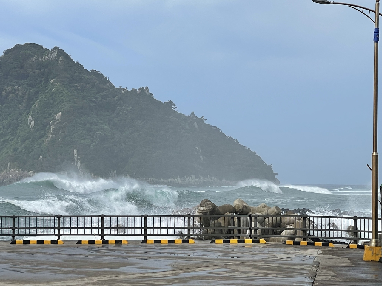
Conditions are markedly different along the east coast, where coastal communities have been battered by torrential rain. A long, narrow band of rain clouds has developed over coastal Gangwon and parts of North Gyeongsang Province.
Torrential rain exceeding 80 millimeters per hour battered Gangwon’s east coast, flooding roads and leaving vacationers stranded in valleys.
Gangneung stepped up emergency operations at its disaster response headquarters at 9 a.m. as the downpour intensified.
Yonggang-dong in Gangneung recorded a peak hourly rainfall of 81.4 millimeters, while Bangdong-ri in Sacheon-myeon received 45 millimeters.
The downpour developed as southeasterly winds from Typhoon Dolphin met northeasterly winds from a high-pressure system north of the peninsula, strengthening the flow of moist air from the east. The winds picked up additional moisture over the warm East Sea before being forced upward by the Taebaek Mountains, producing powerful rain clouds.
The rain also brought some relief to drought-stricken areas along North Gyeongsang Province’s east coast.
Uljin, Yeongdeok, Pohang and Gyeongju received 20 to 30 millimeters of rain per hour.
Scattered showers also fell over Daegu and inland areas of North Gyeongsang Province.
Light rain and gusty winds were reported in parts of Jeju, but they did little to ease the heat. Heat wave alerts remained in effect across most of the island, where the daytime high apparent temperature reached 35 C.
From Saturday through Monday, rainfall totals are forecast to reach 50 to 100 millimeters along the Gangwon coast and in the province’s mountain areas. Northern coastal and northeastern mountainous areas of North Gyeongsang Province could receive 30 to 80 millimeters, while the province’s southern east coast is expected to receive 20 to 60 millimeters.
Scattered showers are also forecast from Saturday afternoon into the evening in the Seoul metropolitan area, the Chungcheong and Jeolla regions and inland areas of the Gyeongsang provinces, with rainfall of 5 to 40 millimeters expected.
Some areas could see gusty winds, thunder and lightning. Rain may briefly lower temperatures, but hot and humid conditions are expected to return once it stops.
Next week’s forecast remains highly uncertain.
Typhoon Dolphin is expected to make landfall on China’s southeastern coast around Monday before weakening over land. The storm is nevertheless forecast to channel a large amount of moisture toward the Korean Peninsula, potentially causing sharp swings in weather.
Forecasters say the influx of moisture could bring widespread heavy rain if it encounters cold air aloft, but could instead intensify the sweltering heat if it combines with a hot high-pressure system.
dagyumji@heraldcorp.com